a
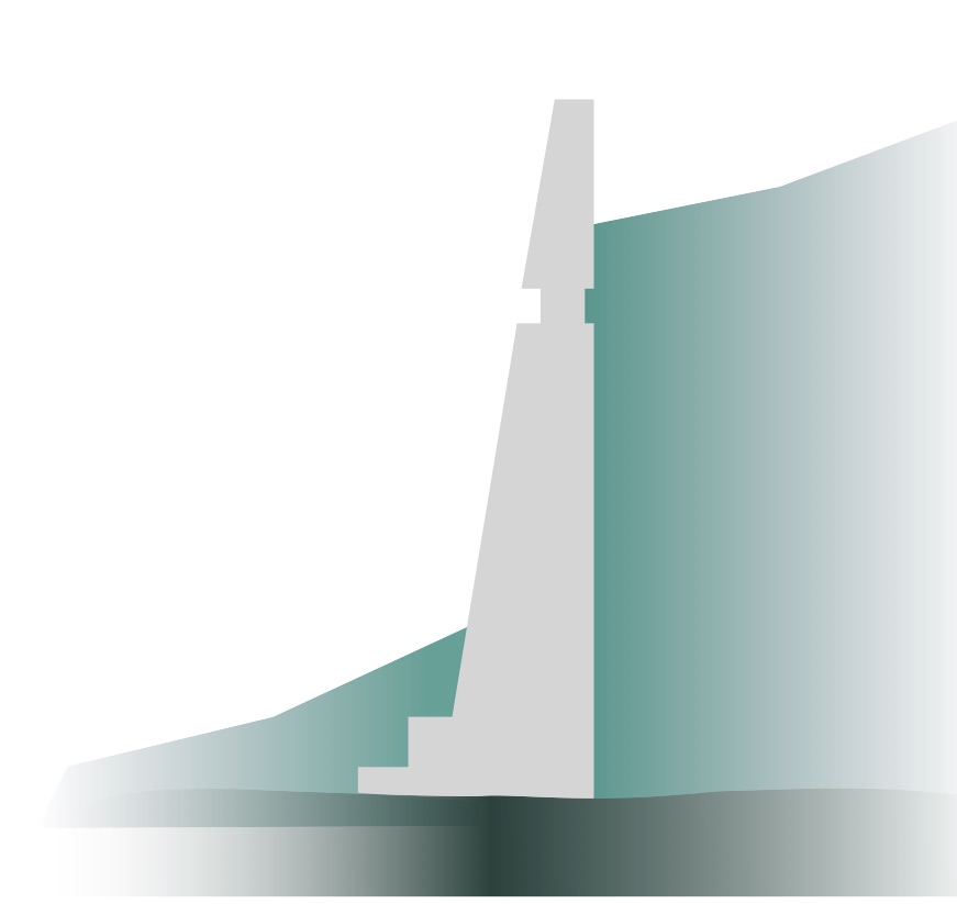
Tehri Dam
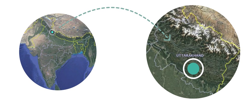
Uttarakhand · on the Bhagirathi
Dam — stores water behind it
India’s tallest dam, and the structure this project follows.
The Aviral Ganga, symbolising a continuous, unhindered flow, now grapples with a dilemma as developmental projects promise potential and at the same time challenge its unbroken journey.
The unfortunate truth persists: environmental concerns are often not accorded the same national priority as development and growth. This paradox is vividly illustrated by the River Ganga, a potent metaphor for the interplay between Environment and Development. The Ganges, India’s holiest river, has seen its natural course disrupted by dams, hydropower projects, and irrigation systems driven by economic growth objectives. While pursuing development, these efforts have disrupted the river’s flow, altering its ecology and affecting communities.
The poignant question emerges: Is the Ganga still the Aviral Ganga it once embodied, or has development fragmented its essential flow?
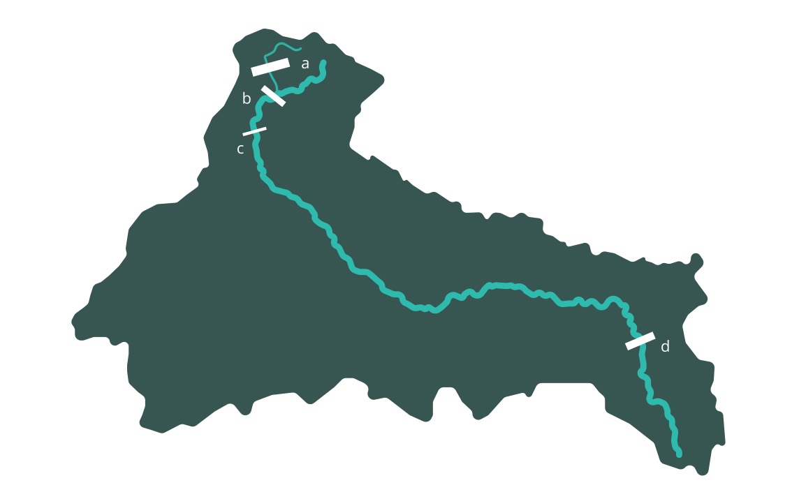
In profile
Uttarakhand · on the Bhagirathi
Dam — stores water behind it
India’s tallest dam, and the structure this project follows.

Haridwar, Uttarakhand
Barrage — regulates and diverts flow
The first structure the river meets after leaving the hills.

Uttar Pradesh
Barrage — regulates and diverts flow
Out on the plains, along the river’s most populous stretch.

West Bengal
Barrage — regulates and diverts flow
The last of the four, before the river crosses into Bangladesh.
Profiles are lifted from the original artwork and share one baseline, so their heights compare directly. Positions along the river are indicative.
In the heart of the majestic Himalayas, an engineering marvel stands as a testament to human ambition and innovation—the Tehri Dam. Stretching across the Bhagirathi River, this colossal structure represents a pinnacle of development, its vast reservoir embodying the power to illuminate cities and irrigate fields
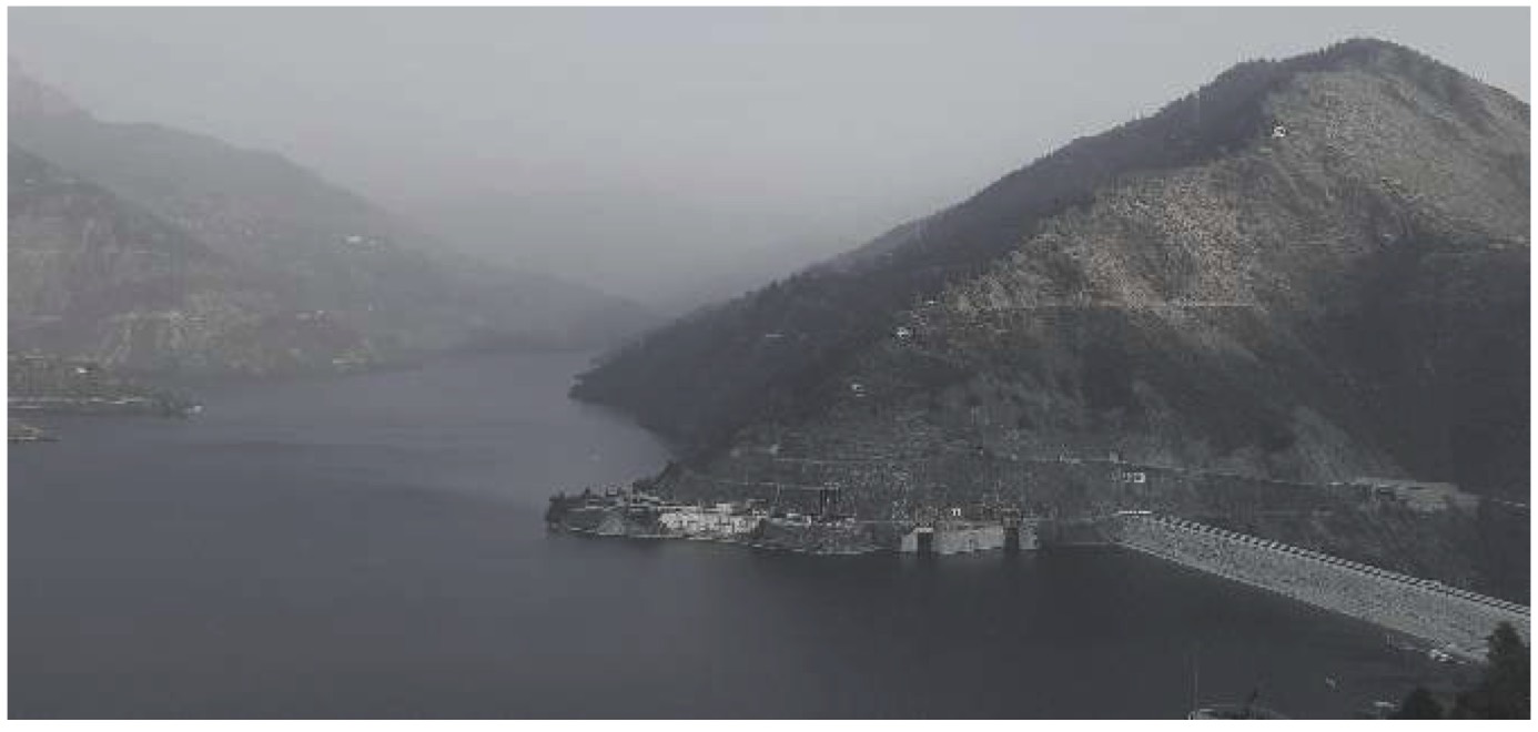
Understanding the evolution, formation, protest and impact of Indias’ tallest dam which on one hand was constructed for developmental reasons but it impacted the flow of Ganges
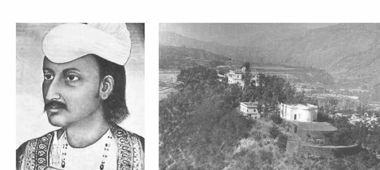
Sudarshan Shah chose Tehri as his capital due to its scenic, secure location surrounded by two rivers.
Market of the city
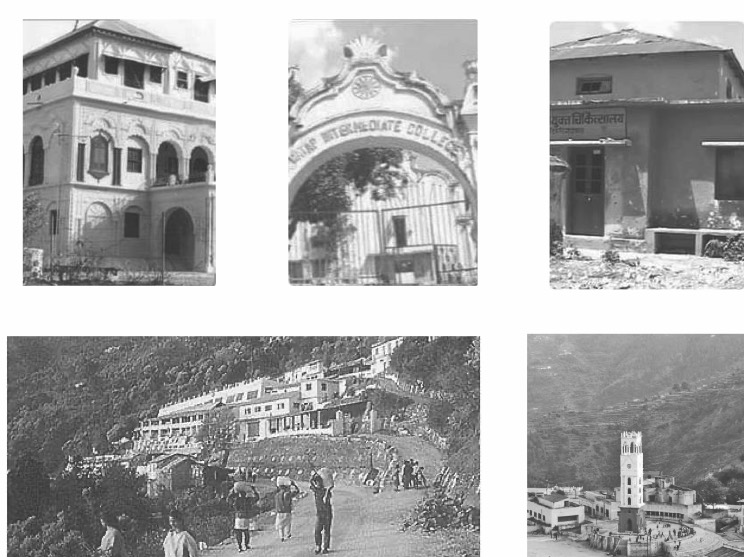
People can be seen in their day to day life
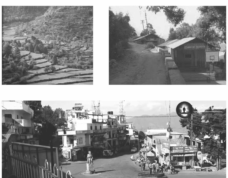
People can be seen in their day to day life
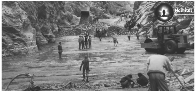
Dam survey and proposal passed
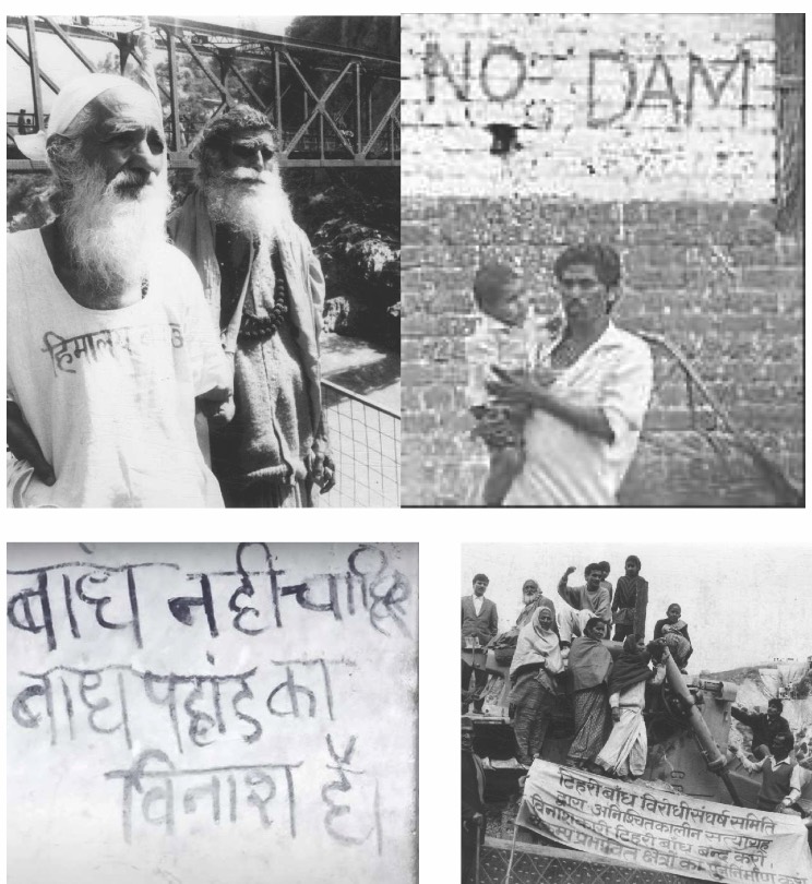
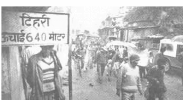
Continuous resistance and Protest by people and activists such as Sundar Lal Bahuguna
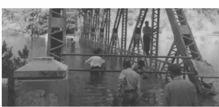
Construction started and roads and bridges to fill
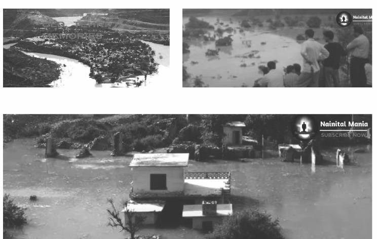
Submerging town
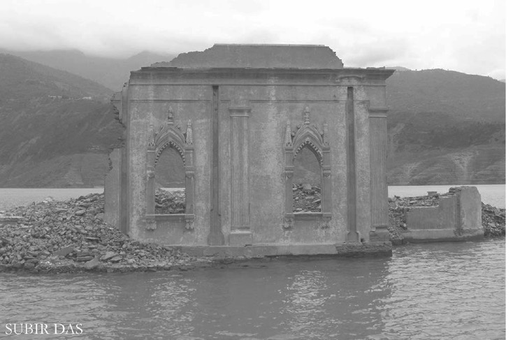
Dam was functional by 2006
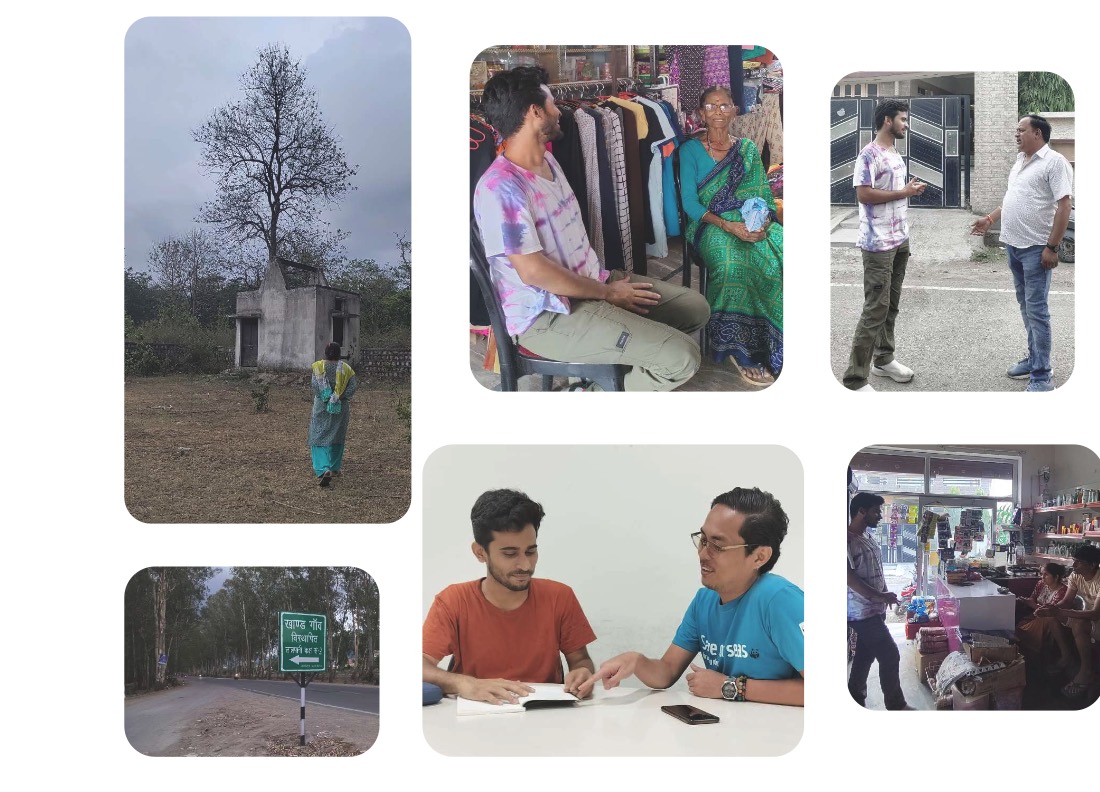
Interview excerpts of displaced community from Tehri who were at the forefront of effects of Tehri dam construction and will be in the front in case of probable unfortunate collapse
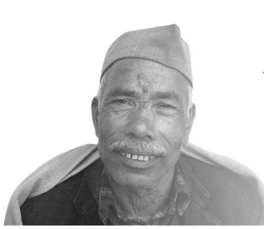
“The river is just left 20% only now and also,they took away our fruit trees, our lands and displaced us in a wildlife protected area again to be displaced soon after. No sense of community here in Khand. I am also scared of this dam breaking someday”

“We were 1st phase residents to be moved from Tehri, survived with no electricity, meagre compensation and wandered from house to house. Where is the development I was promised?”
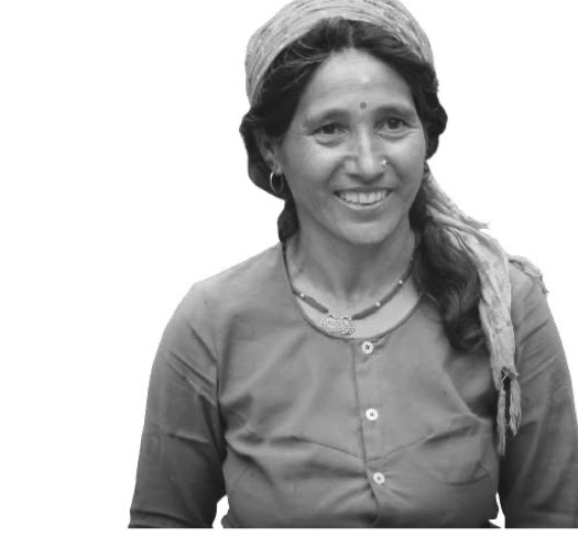
“The dam did give opportunities to people but why were they not from Tehri. We were not compensated fairly and lost all ancestral lands. They are kaccha mountains which were bombed for the dam, causing erosion, one day the dam will collapse due to these bombings and landslides”
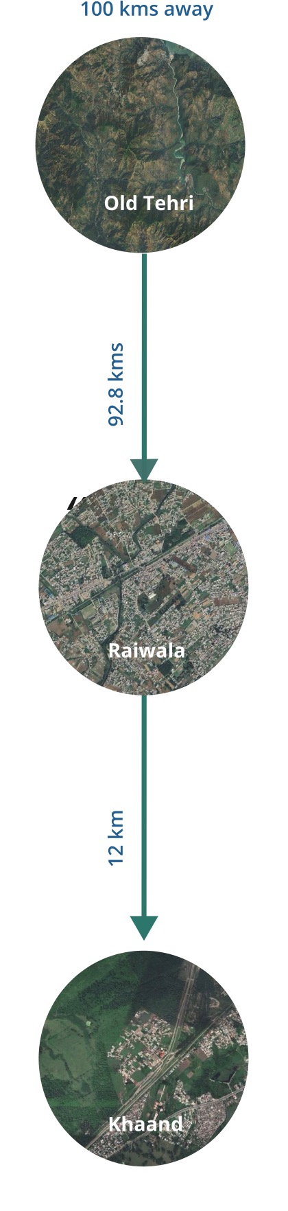
this fear of dam collapse was repeatedly quoted by our interviewees.
So we undertake a speculative journey into the realm of possibility, where it is envisioned the repercussions of such an event. It led to exploring what lies on the other side of the dam’s towering presence.
But to first understand the repercussions, we need to look at the scale, size and expanse of Tehri dam
The Tehri Dam’s stature reaches over 260 meters, a testament to human engineering ingenuity. It outstrips even the Statue of Unity, which stands at 182 meters, showcasing both technological achievement and the drive to harness nature’s resources on a monumental scale.
Leaning Tower of Pisa
0metres
Heights are to scale — one pixel is 5 metres, so each figure rounds to the nearest pixel. Widths are indicative, not measured.
The dam’s reservoir boasts a vast volume, measured in acre-feet—an equivalent of over 1500 Olympic-sized swimming pools combined. This comparison vividly illustrates the immense capacity of the reservoir, exceeding even the largest water bodies we’re familiar with. This volume holds the potential for both development and devastation, underscoring the delicate balance between its promise and peril.
Volumetric Tehri Dam
0acre-ft
0of 1,500 Olympic pools
One tile is one Olympic pool — 50 m × 25 m
Laid end to end, those pools run 75 kilometres.
1,500 pools × 50 m each — near enough two marathons of swimming lanes, end to end.
The dam if we compare it to the size of a metro city like Delhi for example can actually shadow the whole city with just its size and expanse.The map of Delhi juxtaposed with the Tehri dam and its size to show the extent of expanse of dam
Three things sit on one satellite view, all at the same scale: the National Capital Territory, the Yamuna running through it, and the Tehri reservoir laid over the top. Pick a layer to isolate it.
The dam is threatened by the various fault lines and the probability of a high magnitude seismic earthquake owing to the past record of such quakes and even the vulnerability of the state of Uttarakhand being in zone 4 and 5
Epicentres and faults as plotted in the original map. The dam is placed from its coordinates against the map’s own scale bar, so its position is approximate.
The dam is threatened by the various fault lines and the probability of a high magnitude seismic earthquake owing to the past record of such quakes and even the vulnerability of the state of Uttarakhand being in zone 4 and 5.
Illustrative: general effects at each magnitude, not a structural model of Tehri.
1803
Epicenter: Garhwal
7.5M
What a magnitude 7.5 can do
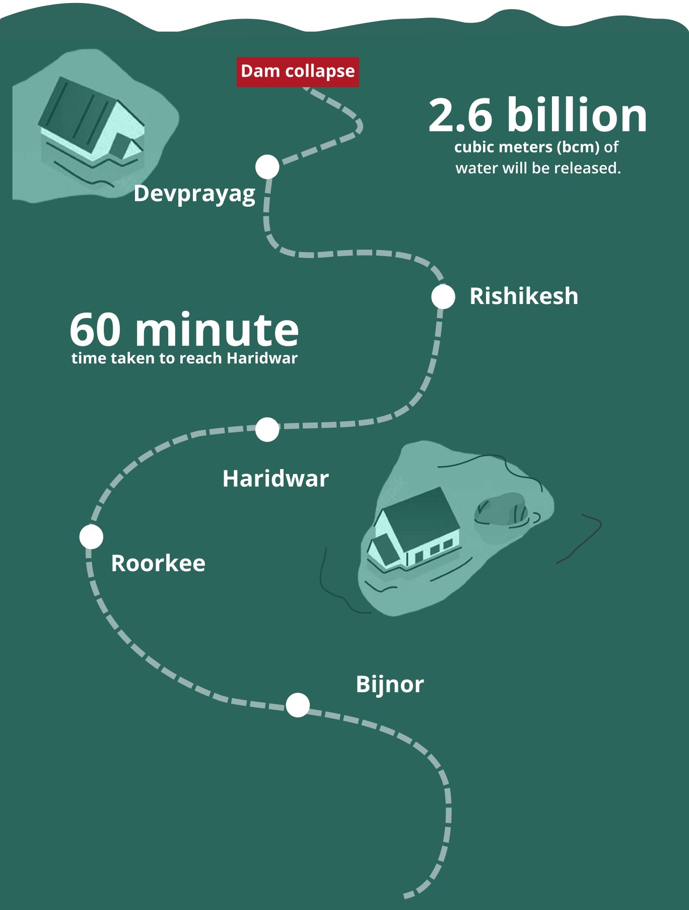
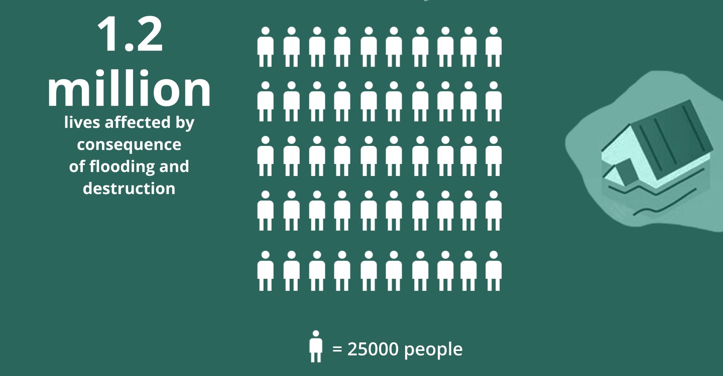
If the Tehri Dam were to collapse, the potential consequences would be severe and widespread due to the massive volume of water stored in its reservoir. Showing the impacts visually on different cities and places if dam collapses
Every figure below stands for 25,000 people.
To mitigate the potential collapse of the Tehri Dam, a multi-pronged strategy is essential
These measures collectively enhance preparedness and response, minimising potential impacts.